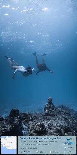
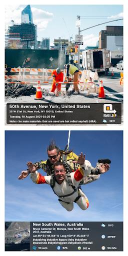
GPS Map Camera effortlessly adds location data—date, time, latitude, longitude, altitude, weather, magnetic field, and compass direction—to your photos. Track your live location as you shoot, perfect for travel journaling or documenting specific locations. Share your geo-tagged photos with friends and family, letting them share in your adventures. GPS Map Camera boasts customizable camera settings, diverse stamp templates, and options for manual or automatic location stamping. Whether you're a traveler, blogger, or simply want to enrich your photos with GPS details, this app is indispensable. Download GPS Map Camera now and share your feedback!
Features:
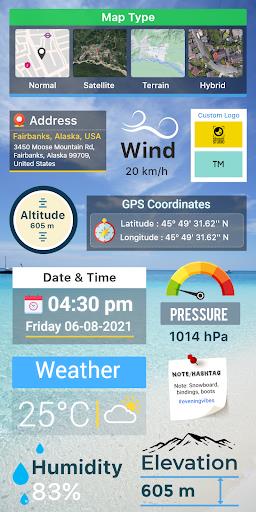
- GPS Map Camera: Add date/time, map, latitude, longitude, altitude, weather, magnetic field, and compass data to photos.
- Geotag Photos & Add GPS Location: Track your live location while capturing photos.
- Share with Family & Friends: Share geo-tagged photos to keep loved ones updated on your travels.
- Custom Camera: Enjoy features like grid, aspect ratio, front/selfie camera, flash, focus, mirror, timer, and capture sound.
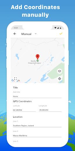
- Advanced Template Customization: Change map type, add manual/automatic location data, set GPS coordinates, add date/time stamps, upload logos, add notes, and include hashtags.
- Comprehensive Tracking: Access wind speed, humidity, pressure, altitude, and location accuracy.
Conclusion:
GPS Map Camera is a versatile tool for travelers, businesses, event organizers, bloggers, and anyone wanting to add GPS details to their photos. Its user-friendly interface and powerful features make it a must-have for enhancing your photography. Download GPS Map Camera: Geotag Photos & Add GPS Location now and share your experience!


