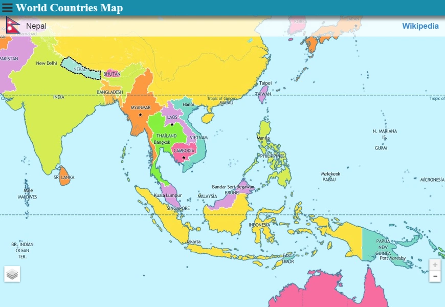
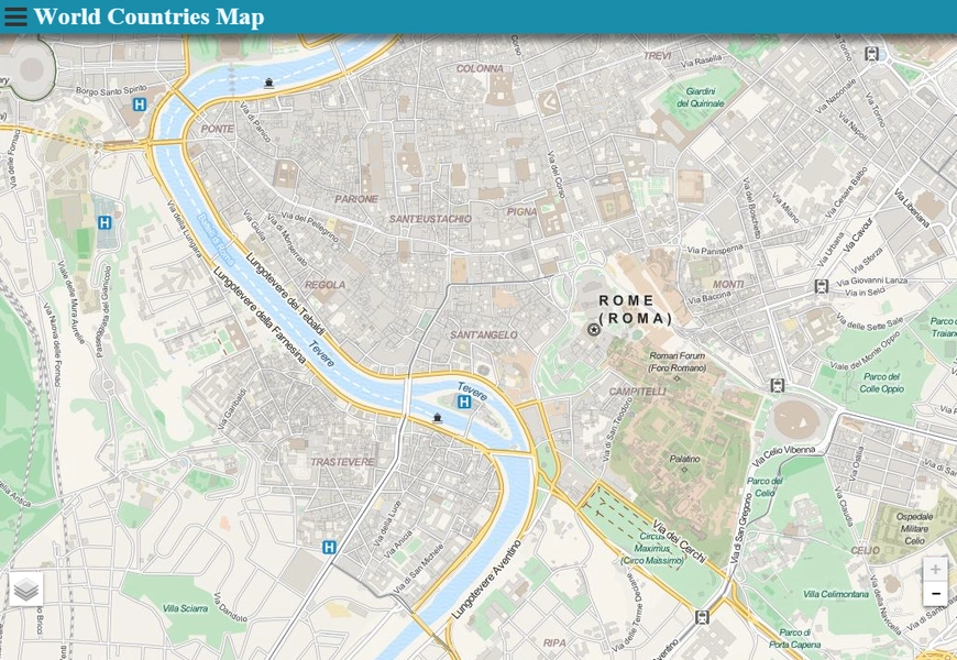
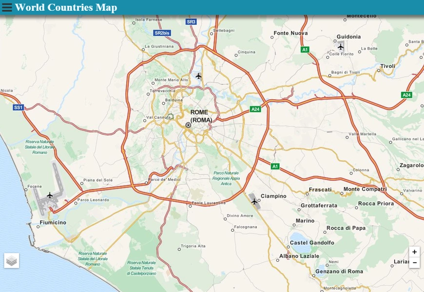
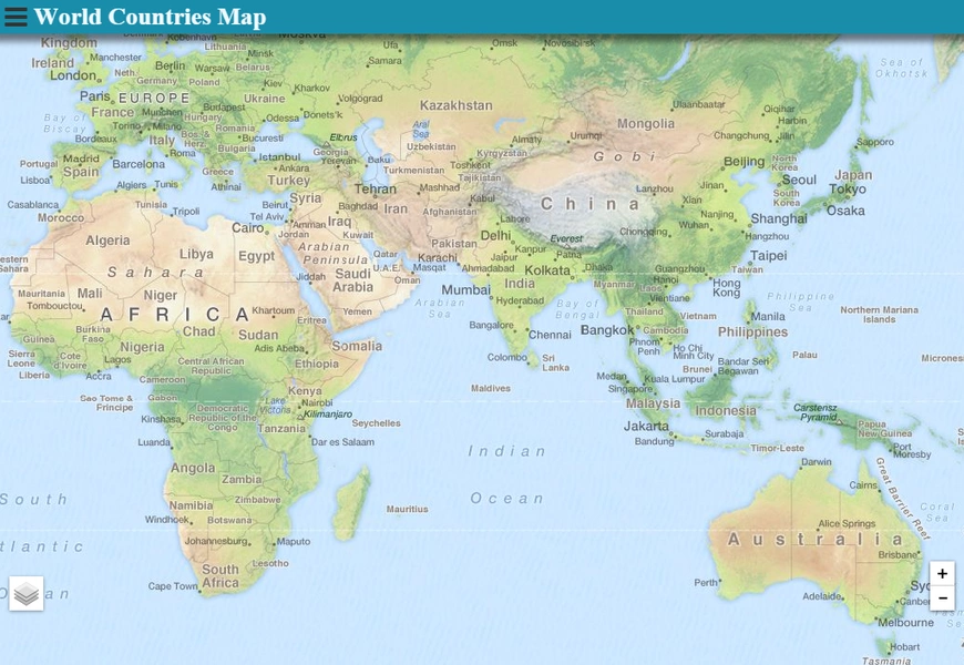
Explore the world with the World Countries Map app, your ultimate digital globe. This interactive atlas, accessible online and offline, offers effortless navigation and detailed country profiles. Simply tap a country to view its flag and access rich Wikipedia information. Beyond a map, it's an educational tool, perfect for students, educators, and anyone fascinated by global geography.
Key features include:
- Interactive Atlas: Explore the world's geography with an intuitive, interactive map.
- Enhanced Zoom: Zoom in and out seamlessly, online or offline, for detailed regional views.
- Comprehensive Country Profiles: Access detailed information on each nation, including flags and Wikipedia links for further learning.
- Extensive Information Resources: Tap into a wealth of knowledge through direct links to Wikipedia articles.
- Intuitive Design: Enjoy a user-friendly experience with easy navigation and one-tap access to information.
- Valuable Educational Tool: A perfect resource for students, educators, and anyone curious about global cultures and geography.
In short, the World Countries Map app is an engaging and informative tool for exploring global geography. Its interactive features, detailed profiles, and convenient access to external resources make it a valuable asset for learning and exploration. Download it today and begin your global journey!


